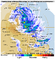
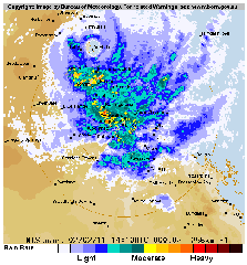
As you may know, tropical cyclone Yasi roared through far north Queensland on Australia’s east coast during the week. A category 5 cyclone, wind speeds were recorded in excess of 250 kms/hr and the eye of the storm was estimated to be almost 35kms in size, and the bulk of the cyclone was estimated at around 500kms (pre landfall).
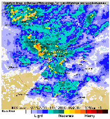
At the time that Yasi hit the coast of Australia, I was viewing the Bureau of Meteorology website’s radar feed from the Mt Stuart observatory in Townsville. Here are the radar imaging from when that event took place:
Finally, here is an image which was uploaded at the time on another website – some claim it is a photoshopped hoax – you be the judge.


